1. Maldives, My #1 Bucket List Destination
The Maldives is often called one of the most beautiful island nations on Earth. White sandy beaches, emerald-blue waters, and stunning overwater villas make it truly “heaven on Earth.”
However, with expensive flights and luxury resorts, visiting isn’t easy. That’s why I opened Google Earth and started a virtual journey instead.
2. Why Travel with Google Earth?
Google Earth is more than just a map—it’s a virtual travel experience.
– One click to anywhere in the world
– High-resolution satellite images of oceans, forests, and cities
– Street View that lets you “walk” through local streets
No cost, no time limits—just pure exploration of dream destinations.
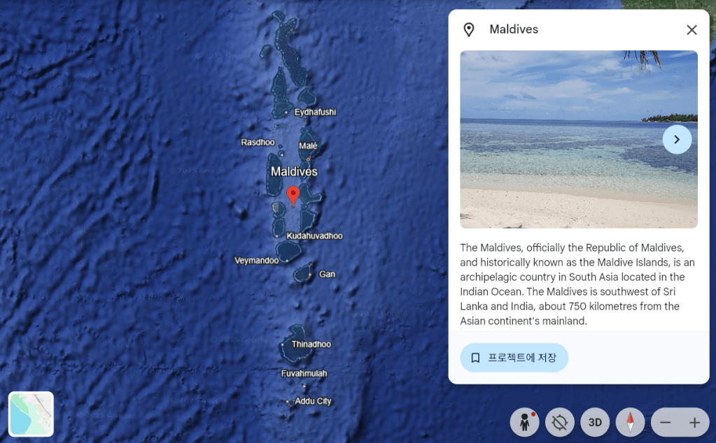
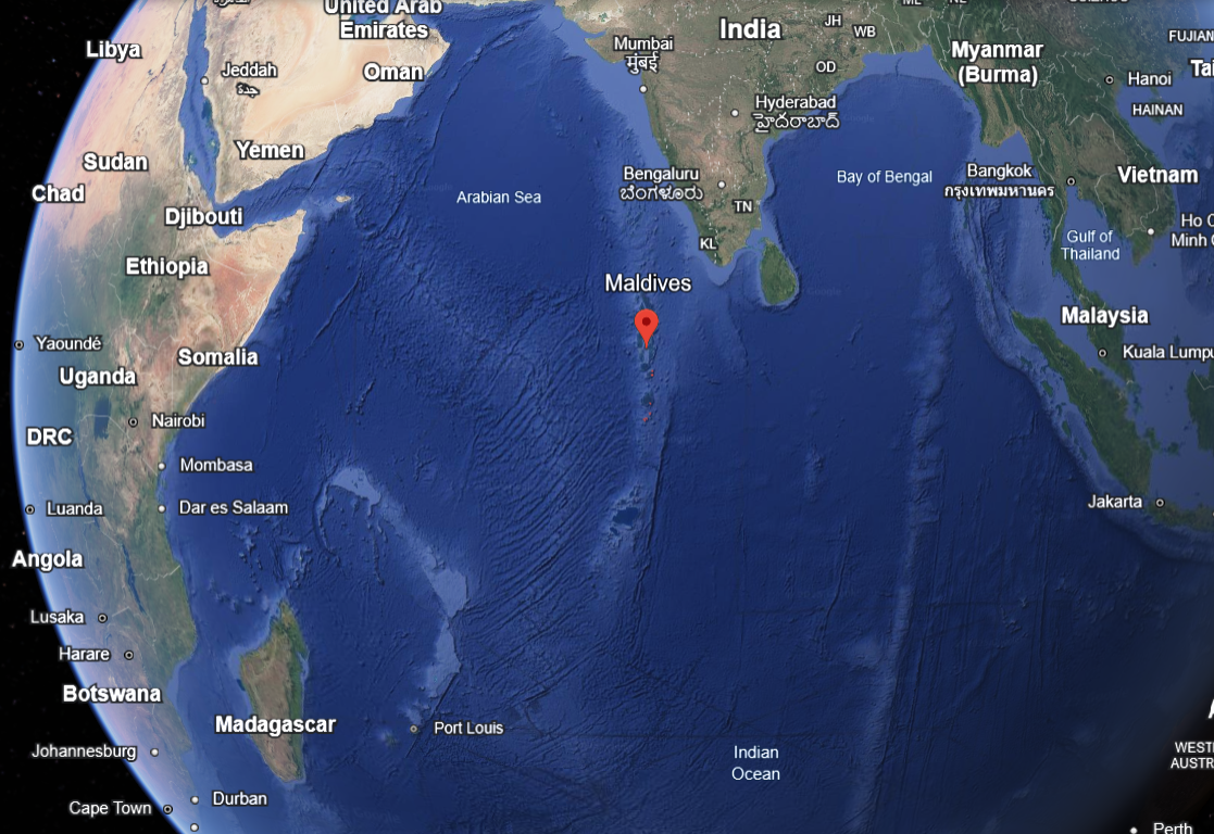
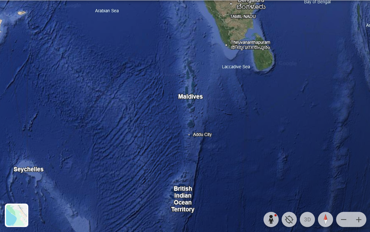
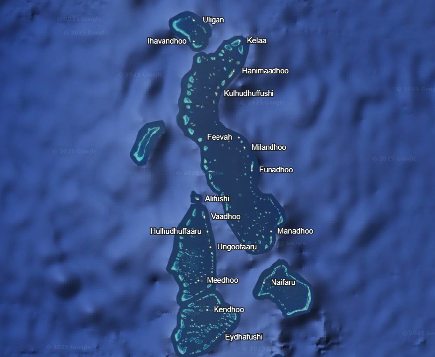
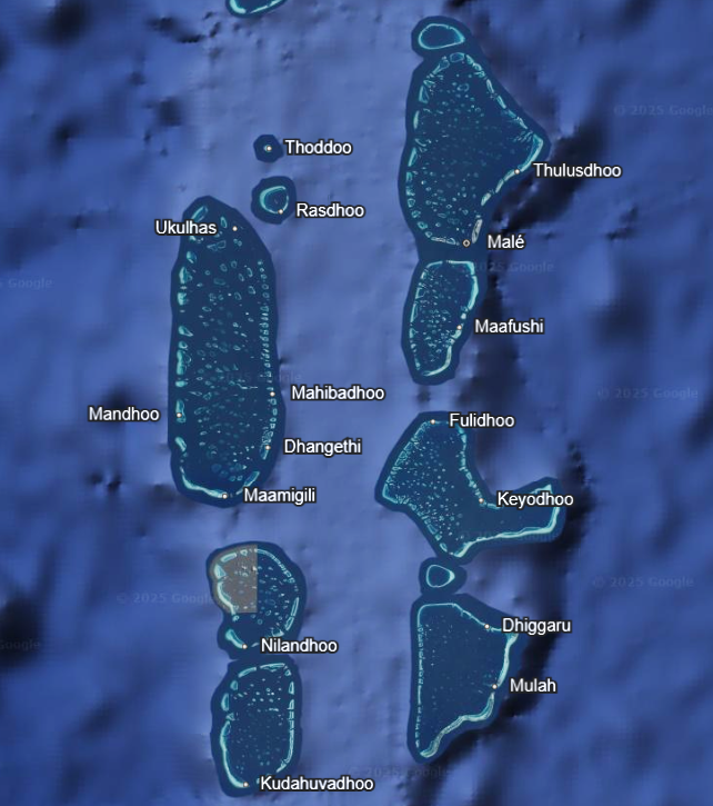
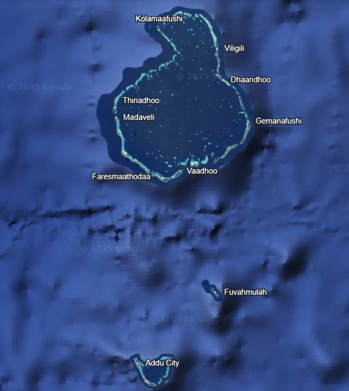
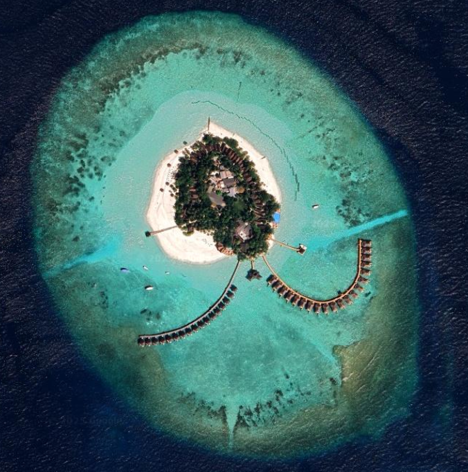
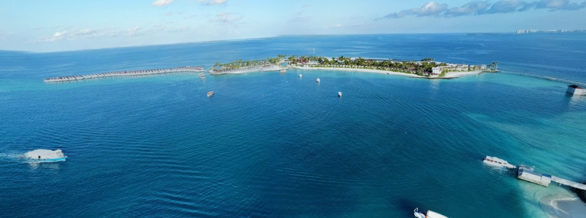
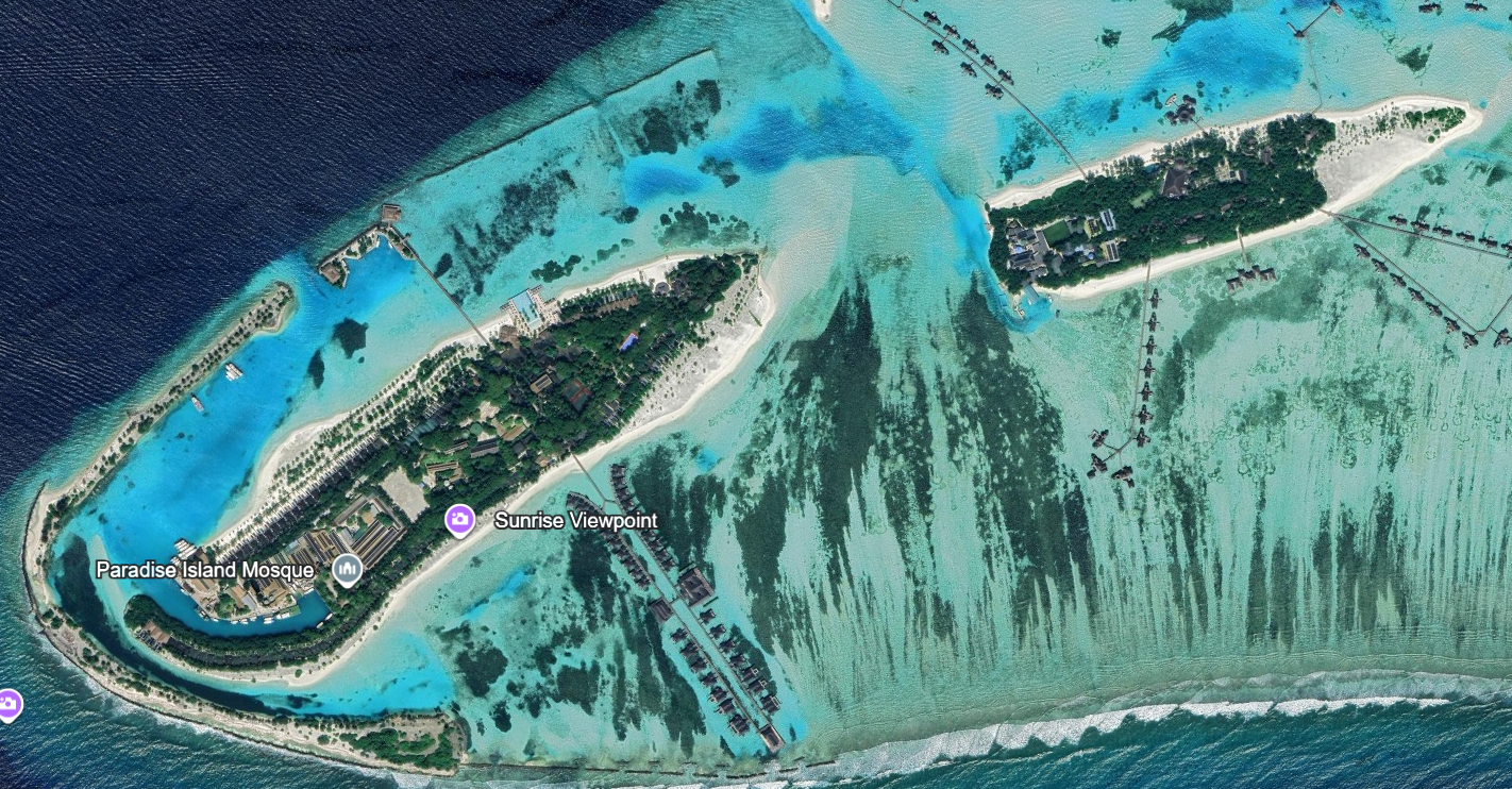
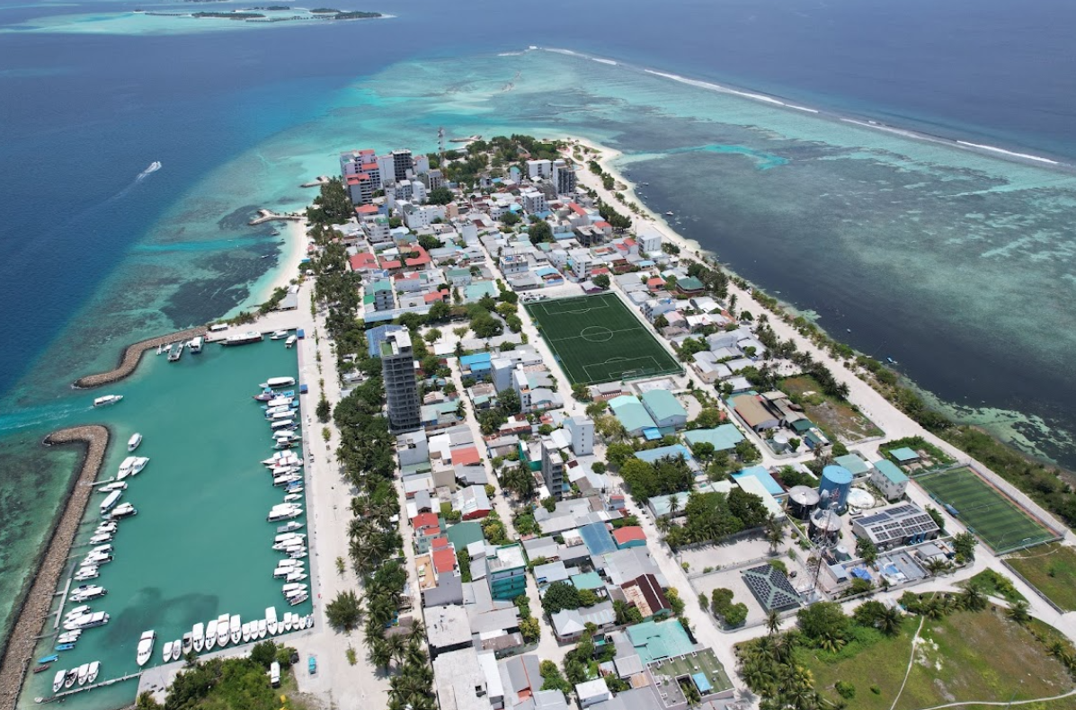
3. Seeing the Maldives from Above
The Maldives is made up of over 1,000 small islands. From a zoomed-out view on Google Earth, they appear like tiny pearls scattered across the ocean.
It feels like looking out of an airplane window, but you can see it right from your screen.
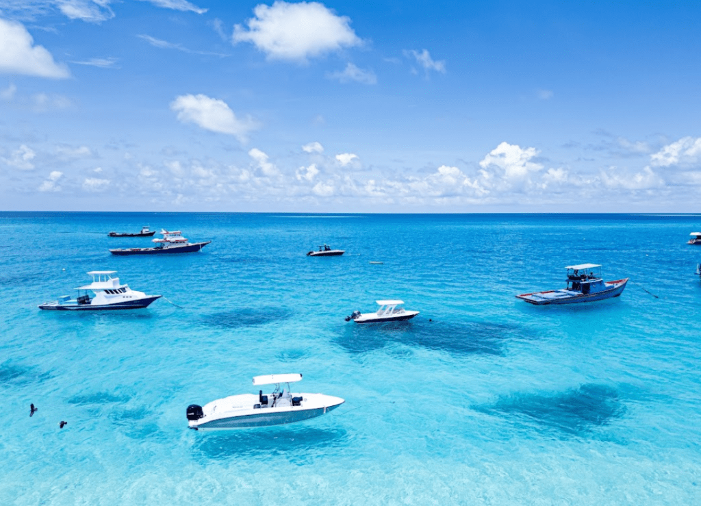
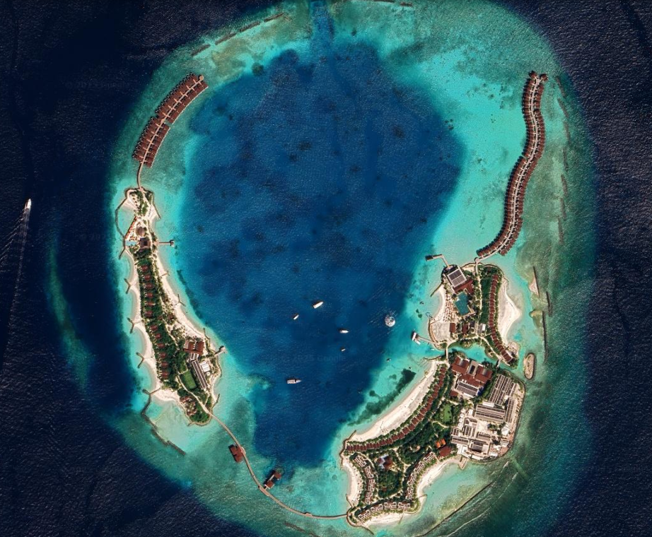
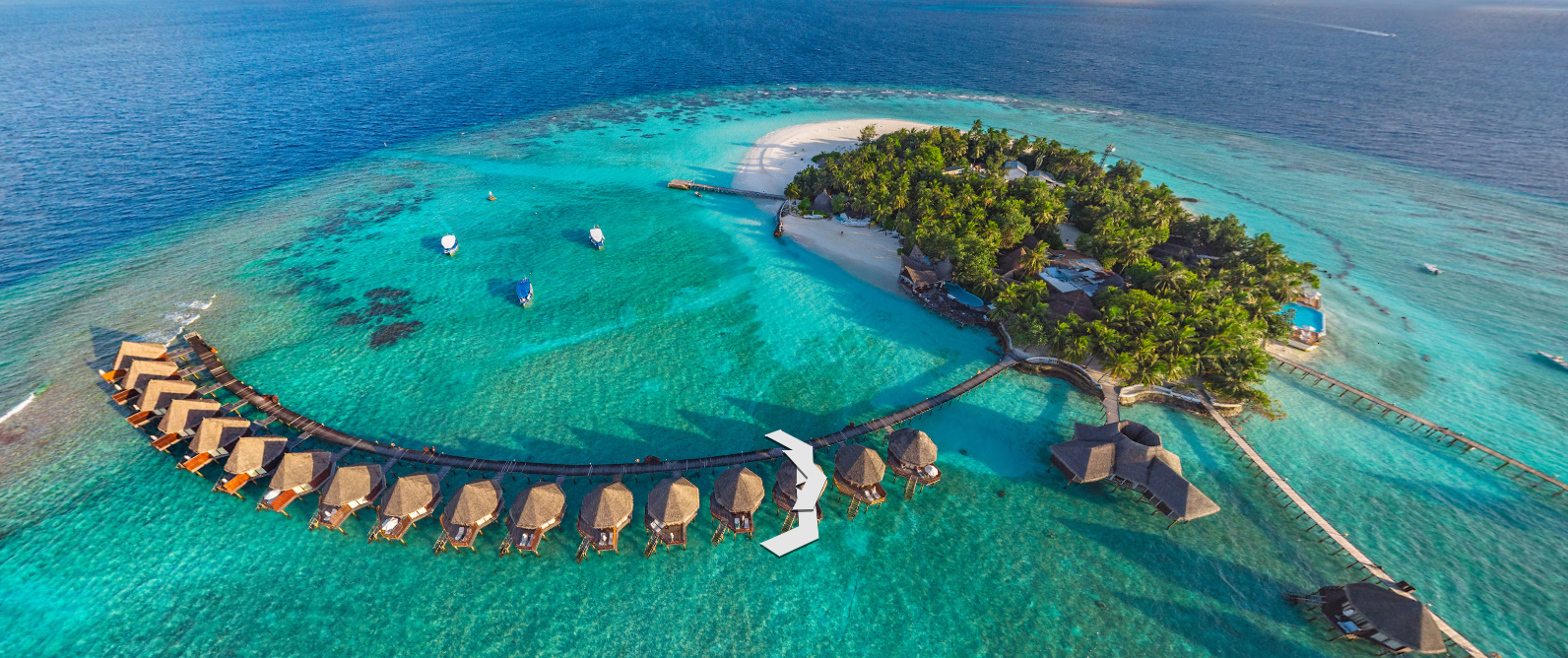
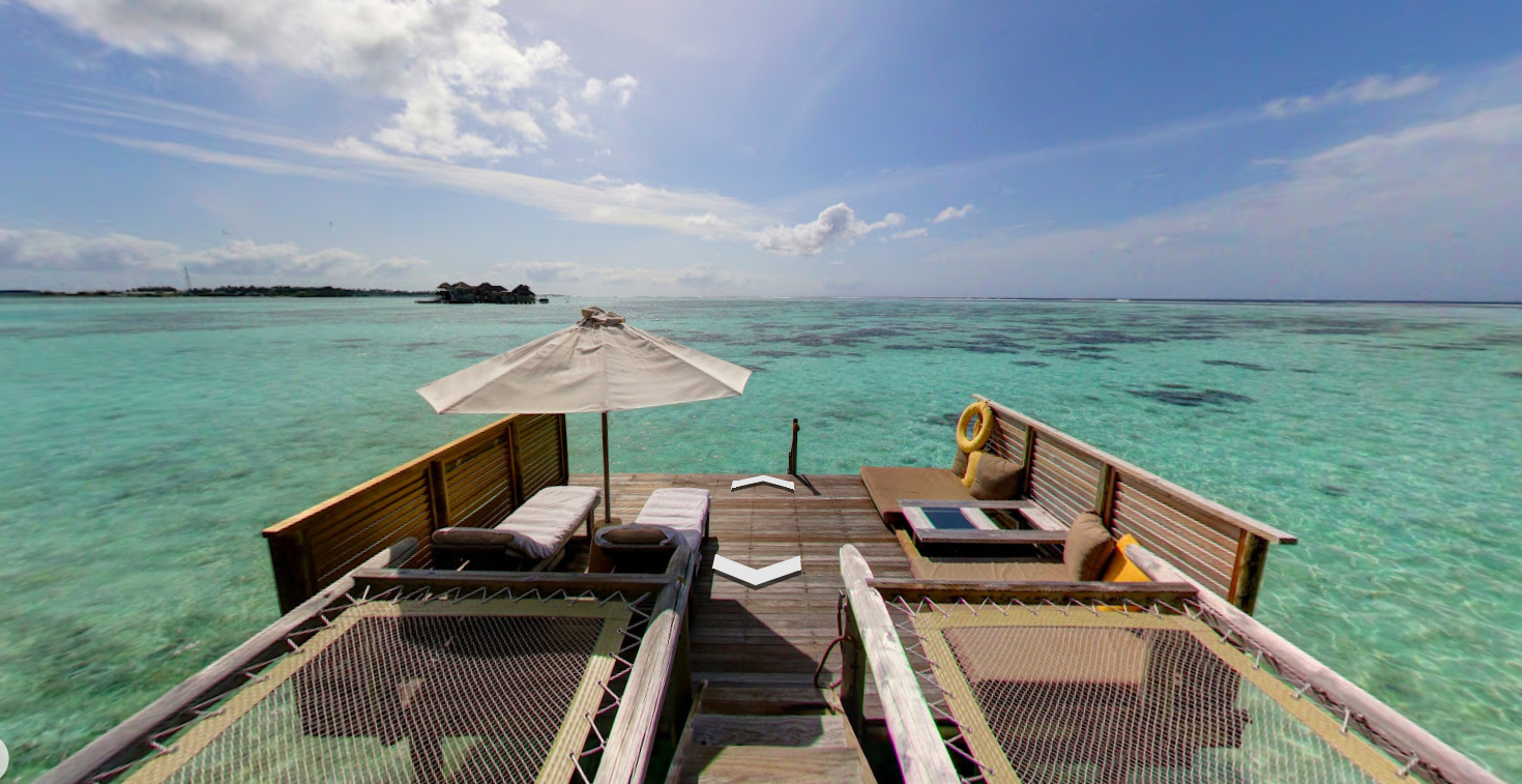
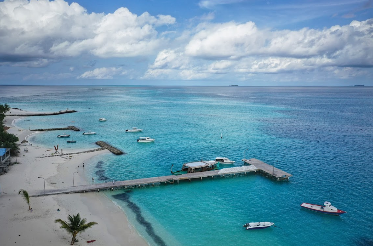
4. Exploring the Iconic Overwater Villas
The Maldives is famous for its overwater villas. Zoom in on Google Earth, and you can clearly see the long wooden piers extending into the sea, lined with villas.
Some even show boats, private pools, and decks, as if you’re looking at an aerial drone photo.
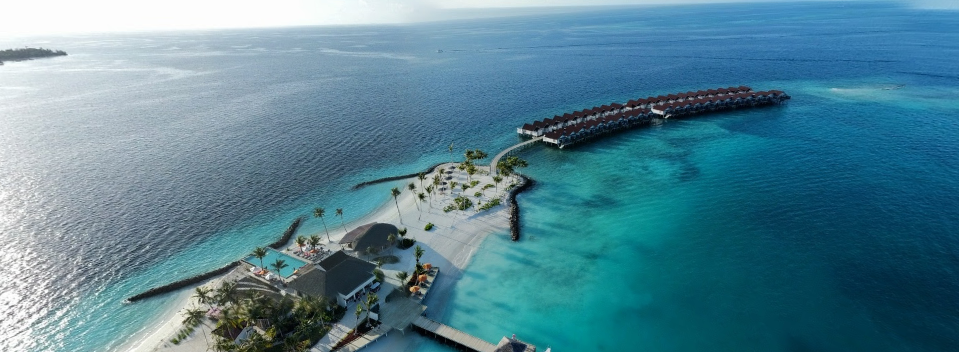

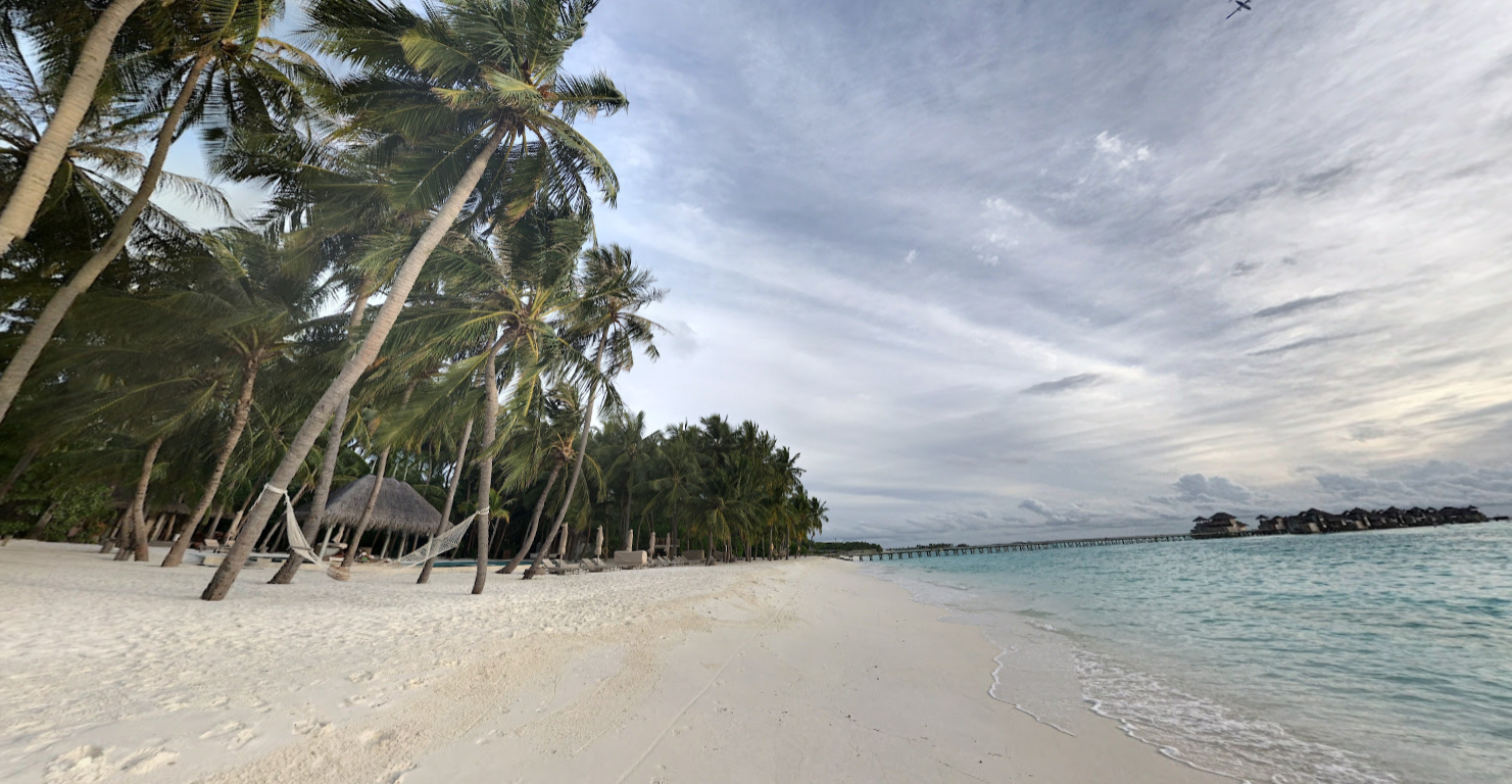
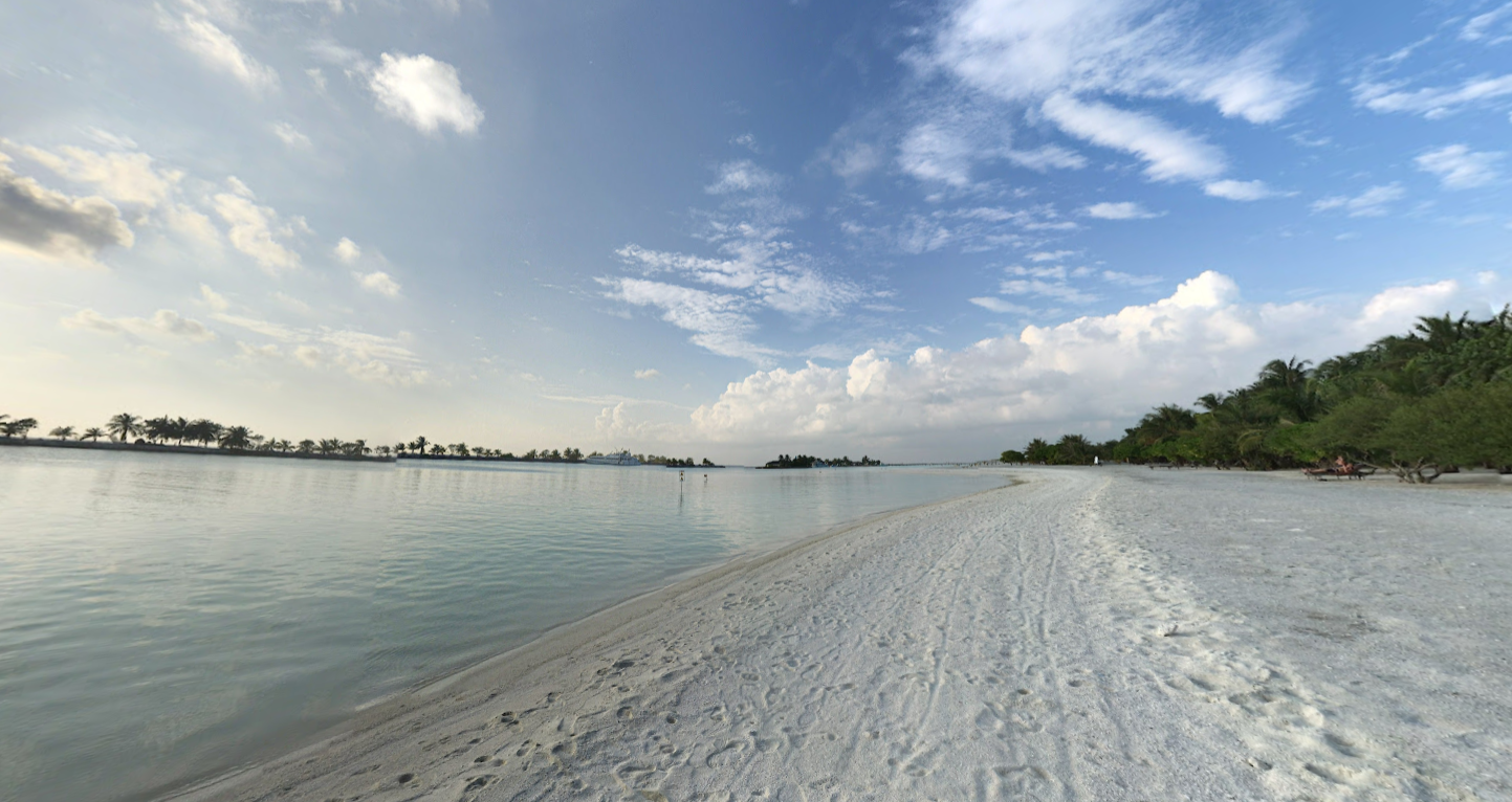
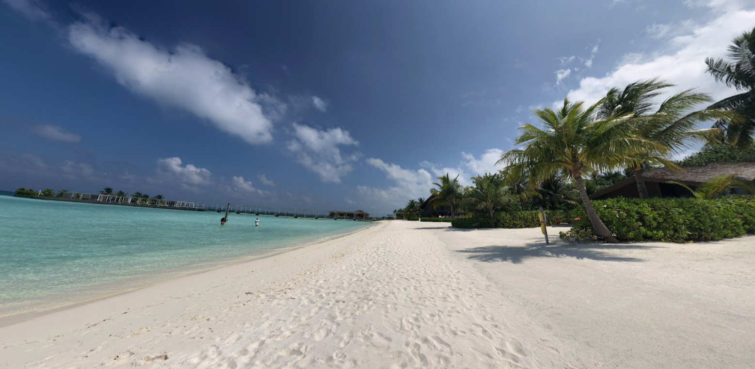
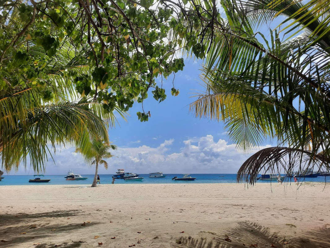
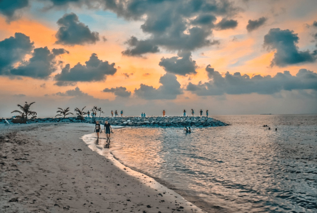
5. Walking Along the Beaches
In certain areas, Street View allows you to virtually “walk” along the beaches. You can see the turquoise water, bright skies, and sandy shore stretching endlessly.
Although you won’t hear waves or feel the breeze, the visuals alone are enough to spark wanderlust.
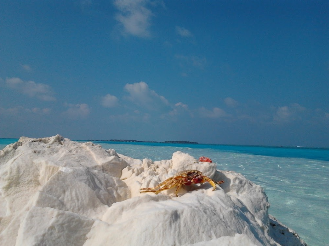
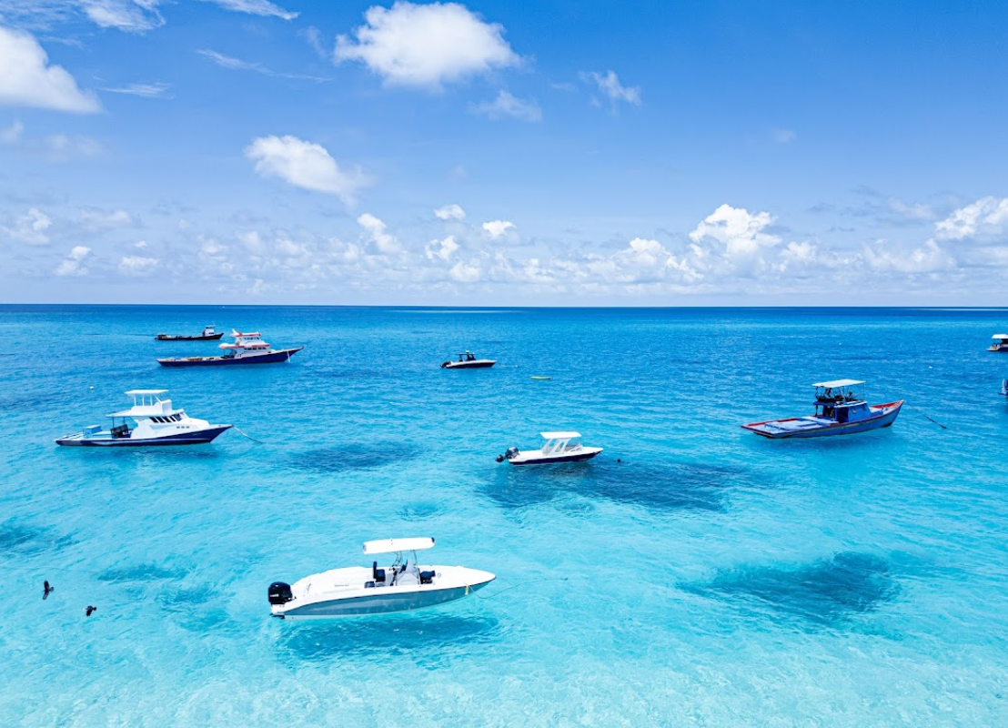
6. Coral Reefs and Ocean Colors
The Maldives’ waters are famous for their incredible color variations—mint green, turquoise, deep blue—depending on depth and reefs.
Zooming in reveals the coral reef formations below, creating a patchwork of natural beauty.


7. My Promise: One Day, for Real
Even though this trip was virtual, it felt real enough to remind me why the Maldives is my ultimate travel dream.
One day, I’ll watch the sunset from an overwater villa and wake up to the sound of waves. Until then, Google Earth will remain my travel companion.
All images are captured from Google Earth.
Satellite and map data © Google Earth.

Leave a comment